So.Ge.T.
Magnetic and Electromagnetic Surveys (EM)
![]()
Magnetic Surveys
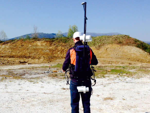
So.Ge.T. Magnetic geophysical surveys are aimed at measuring small, localised variations in the Earth’s magnetic field. The magnetic properties of naturally occurring materials such as magnetic ore bodies and basic igneous rocks allows them to be identified and mapped by magnetic surveys. As buried steel objects may produce strong local magnetic fields or anomalies, the magnetometer surveys are capable of finding underground storage tanks, UXO, IED and reinforced concrete foundafions.
Electromagnetic Surveys
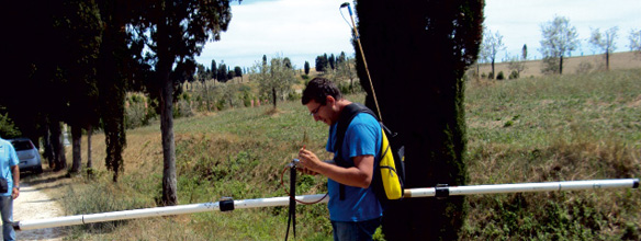
So.Ge.T. has used the EM surveys for many years, as they, unlike conventional resistivity techniques, do not require ground contact, allowing a much more rapid data acquisition.
The EM technique uses the principle of induction to measure the electrical conductivity of the subsurface.
Available equipment
- GSM—19® magnetometer of GEM® Systems
- DUAL—EM® electromagnetic measures instrument
- EM-31® electromagnetic measures instrument of Geonics®


Common Applications
- Finding buried steel tanks and waste drums
- Detecting iron and steel obstructions
- Locating unmarked mineshafts
- Accurately mapping archaeological features
- Mapping basic igneous intrusives & faults
- Evaluating the size and shape of ore bodies


