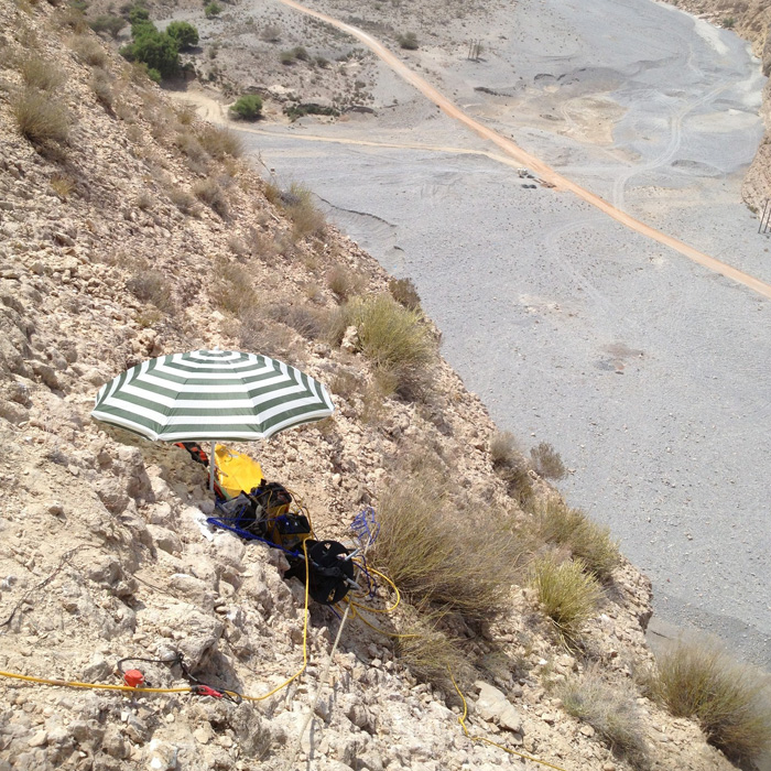
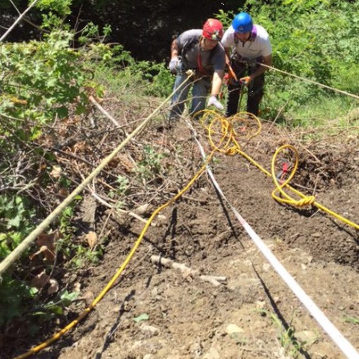
[vc_row][vc_column][vc_column_text]The ability of implementing geophysical surveys on challenging sites is one of our key feaures.
In this example, a 48 channels seismic tomography has been carried out four the foundation soil assessment of anew designed dam.
The pictures are related to one bank: a steep slope with an elevation of more than 160 m.[/vc_column_text][/vc_column][/vc_row][vc_row][vc_column width=”1/3″][vc_custom_heading text=”Seismic profile” font_container=”tag:h2|font_size:30px|text_align:center” use_theme_fonts=”yes”][vc_single_image image=”2345″ img_size=”full” alignment=”center” onclick=”link_image”][/vc_column][vc_column width=”1/3″][vc_custom_heading text=”Seismic profile” font_container=”tag:h2|font_size:30px|text_align:center” use_theme_fonts=”yes”][vc_single_image image=”2346″ img_size=”full” alignment=”center” onclick=”link_image”][/vc_column][vc_column width=”1/3″][vc_custom_heading text=”Obtained Seismic Tomography” font_container=”tag:h2|font_size:30px|text_align:center” use_theme_fonts=”yes”][vc_single_image image=”2347″ img_size=”full” alignment=”center” onclick=”link_image”][/vc_column][/vc_row][vc_row][vc_column][vc_separator][/vc_column][/vc_row][vc_row full_width=”stretch_row_content”][vc_column][vc_masonry_media_grid element_width=”3″ item=”mediaGrid_FadeInWithIcon” grid_id=”vc_gid:1464179073269-60700d33-84e8-1″ include=”2348,2347,2346,2345″][/vc_column][/vc_row]