So.Ge.T.
Ground Penetrating Radar (GPR)
![]()
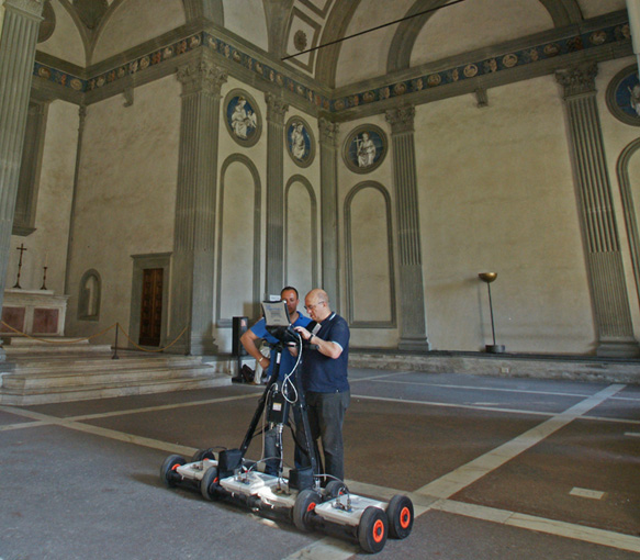
Ground Penetrating Radar (also called georadar) uses radio wave reflections (frequency from 25 MHZ to 3,000 Mhz) to collect information of underground or within a structure such as buried pipes, underground cavities, subsurface cracks, voids and layers’ thickness. The advantages of the method are clear: GPR technology can locate any pipes / structures / objects: metallic and nonmetallic (PVC, concrete, etc.). It is a non-destructive and non-invasive test, revealing a wealth of internal detail without the need for coring or breaking out reducing associated risks and costs. Finally, the GPR test complements the surface inspection with a documentable and precise (quantitatively interpretable) image of the underground. Using IDS instruments So.Ge.T. can count on strong expertise, quick mobilisation and reliable results. So.Ge.T. operates providing:
High Quality: with an array of antennas instruments, we enable an accurate and homogenous 3D reconstruction of the subsurface giving the ability to see shape and size of buried objects.
Productivity: using more antennas combined with positioning system can save time in the field; to accurately reconstruct the path of the underground in complex situations;
Safety: array solution can be towed by vehicles, no need of time consuming and dangerous field surveys on roads.
Available equipment
- Hi-Mod® GPR of IDS (2 antennas of 200 and 600 Hz)
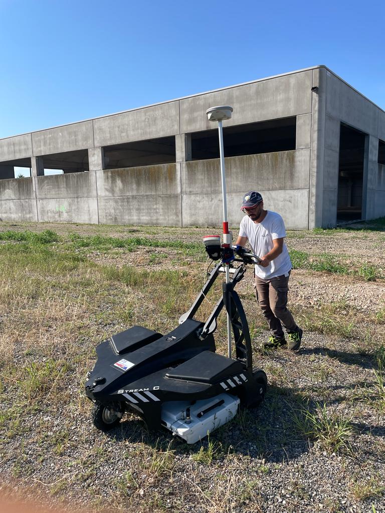
- Stream C fo IDS (34 antennas of 600 MHz)
- 3000 MHz structure antenna


Common Application
- Mining: slope Monitoring for geotechnical risk management;
- Utility Mapping & Detection;
- Transport: inspection and maintenance of road and rail networks.
- Geology & Environment: underground structures, bedrock and lithological profiling, snow and ice thickness measurements and proper solutions for monitoring slope instability, landslides, ground settlements.
- Civil Engineering: concrete thickness and inner—rebar structure, wall cavities, water and structural defects detection;
- Forensics & Public Security: search and rescue, tunnel location, intrusion detection, UXO, landmine and buried IED detection.
- Archaeology and cultural heritage.


